
Local time Monday 8:13 PM | ||
 | ||
Weather 21°C, Wind S at 5 km/h, 91% Humidity Points of interest Taiping Mountain, Cueifong Lake, Taipingshan Primeval Forest Park, Wangyangshan | ||
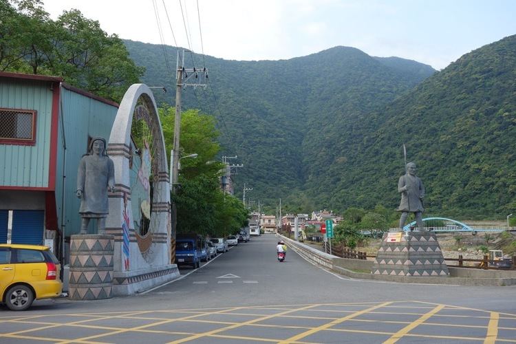
Nan'ao Township (Chinese: 南澳鄉; pinyin: Nán'ào Xiāng) is a mountain indigenous township in the southern part of Yilan County, Taiwan. It is the largest township in the county.
Contents
- Map of Nanao Township Yilan County Taiwan 272
- History
- Geography
- Administrative divisions
- Tourist attractions
- Transportation
- References
Map of Nan'ao Township, Yilan County, Taiwan 272
History
The township was the site of the Sayun incident during Japanese rule, made famous through the movie Sayon's Bell, and was formerly classified as "Savage Land" under Taihoku Prefecture during Japanese rule.
Geography
It has a significant population of Atayal aborigines.
Nan'ao Township contains part of the mountainous terrain of the Central Mountain Range.
Administrative divisions
Nanao is divided into seven villages (from north to south):
Tourist attractions
Transportation
Nan'ao is served by the North-Link Line of Taiwan Railway Administration at three stations: Dong-ao Station, Hanben Station, and Wuta Station.
Taiwan Highway 9 passes through Nan'ao. Between Su-ao and Hualien, to the south, this road is known as the Suhua Highway (蘇花公路), and it features some of the most dramatic oceanside scenery in Taiwan.