Area 135,600 km² | ||
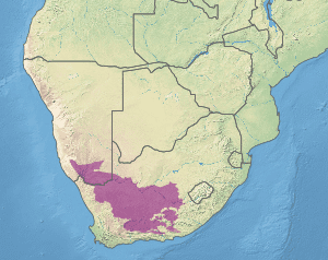 | ||
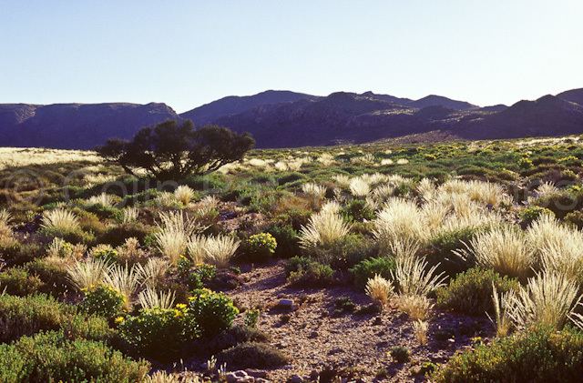
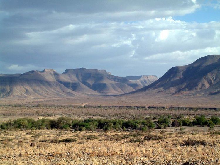
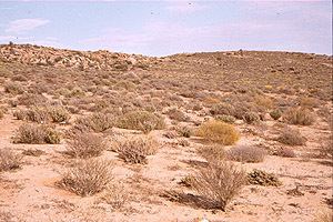
Nama Karoo is a xeric shrubland ecoregion located on the central plateau of South Africa and Namibia. It occupies most of the interior of the western half of South Africa and extends into the southern interior of Namibia.
Climate
The climate tends to be volatile and very harsh. Droughts are frequent with rain primarily falling in the summer. Rainfall can also be varied with it fluctuating between 100 and 520 millimetres (3.94 and 20.47 in) per year. Rainfall is known to be highly seasonal, peaking between December and March. It tends to decrease from the east to west and from north to south. The variability in the inter-annual rainfall also tends to increase with increasing aridity. Temperature variations as large as 25 °C or 45 °F between day and night are common. Mean maximum temperatures in the mid-summer (January) exceeds 30 °C (86 °F), while mean minimum mid-winter (July) temperatures are below freezing.