
Country Pakistan District Khuzdar District Main language Balochi Area code +92848 | Province Balochistan Time zone PST (UTC+5) Local time Monday 12:45 PM | |
 | ||
Weather 26°C, Wind S at 13 km/h, 15% Humidity | ||
Nall (ںال) is the largest tehsil of Khuzdar District of Balochistan, Pakistan.
Contents
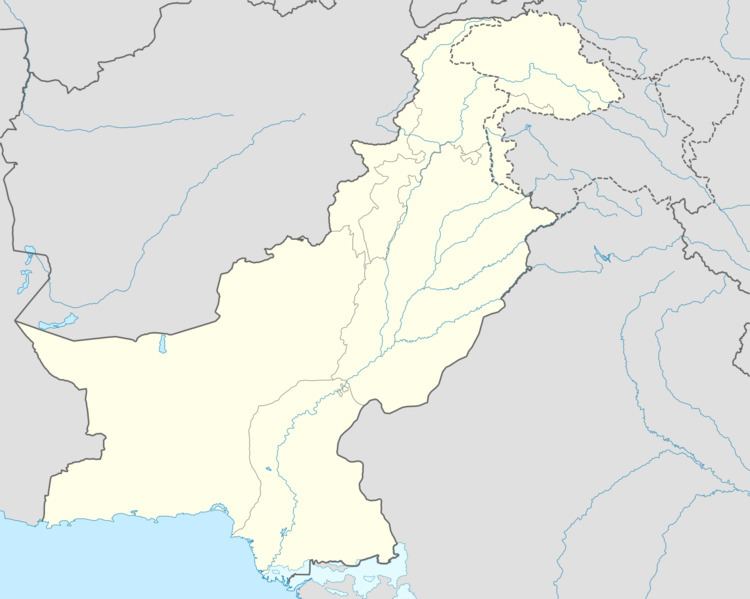
Map of Nal, Pakistan
Location
Nall is located in Khuzdar District of Balochistan, Kalat Division.
Population
Most of the inhabitants of the sub-district belong to the Bizenjo, Umrani, Langove, Baloch, Behravi, Mirwani or Sumalani tribes. The majority of the people in the area are Muslims, with a small Hindu minority.
Landscape
Nall has many date palm trees, and views of the Nall River towards the Shashan Mountains.
Administration (Union Council)
The Tehsil Nall Khuzdar Balochistan نال is administratively subdivided into Seven union councils
References
Nall, Pakistan Wikipedia(Text) CC BY-SA