
Native name Río Nahualate Length 130 km Mouth elevation 0 | Basin size 1,941 km (749 sq mi) | |
 | ||
Main source Guatemala (Sololá, Suchitepéquez)3,000 m (9,800 ft)Santa Catarina Ixtahuacán River mouth Pacific Ocean0 m (0 ft) Discharge Average rate:60.8 m/s (2,150 cu ft/s)at San Mauricio | ||
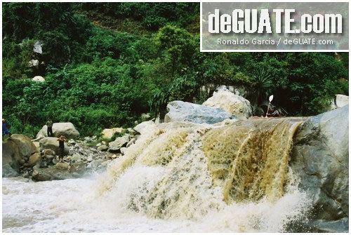
The Río Nahualate ([nawaˈlate]) is a river in southwest Guatemala. Its sources are located in the Sierra Madre range, in the vicinity of Santa Catarina Ixtahuacán and Nahualá (Sololá). From there it flows southwards through the coastal lowlands of Suchitepéquez and Escuintla to the Pacific Ocean.
Map of Rio Nahualate, Guatemala
The Nahualate river basin covers a territory of 1,941 square kilometres (749 sq mi).
References
Nahualate River Wikipedia(Text) CC BY-SA