
Country Area 60.1 sq mi Mayor Noe Marcano (PNP) | Population 27,051 (2011) Founded July 15, 1821 | |
 | ||
Unemployment rate 12.9% (Feb 2015) University University of Turabo at Naguabo | ||
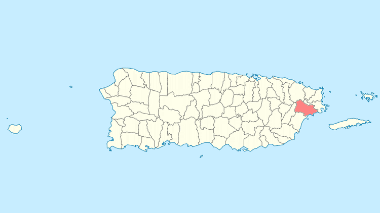
Map of Naguabo, Puerto Rico
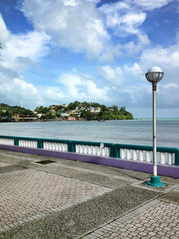
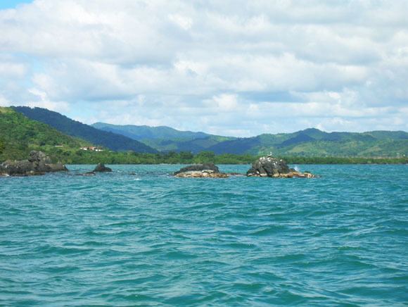
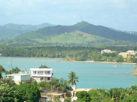
Naguabo ([naˈɣwaβo]) is a municipality in Puerto Rico (U.S.) located in the east coast of the island, north of Humacao; south of Río Grande and Ceiba; and east of Las Piedras. Naguabo is spread over 8 wards and Naguabo Pueblo (The downtown area and the administrative center of the city). It is part of the San Juan-Caguas-Guaynabo Metropolitan Statistical Area.
Contents
- Map of Naguabo Puerto Rico
- Rest el makito naguabo pr
- Geography
- Landmarks and places of interest
- Festivals and events
- Transportation
- Books about Naguabo
- References
Naguabo is said to be the birthplace of the pastelillo de chapín, which is a popular food in Puerto Rico. It is trunkfish wrapped inside a flour dough that is deep fried. Pastelillo de chapín can be found in almost any seaside establishment on the island.
Rest el makito naguabo pr
Geography
Naguabo is located in the southeast region of Puerto Rico. The northern part is within the Luquillo Mountain Range, which contain the Picos (tips) of the Este and the Oeste, at 3,448 and 3,346 feet (1,051 and 1,020 m) of altitude above sea level, respectively.
Landmarks and places of interest
Festivals and events
Transportation
There is public transportation in Naguabo. It operates from 6:00 a.m. using the "Pisicorre" bus.
Books about Naguabo
Historia de Naguabo by Carmelo Rosario Natal