
Country India District Jalpaiguri Telephone code 03565 Area 397 km² | State West Bengal Time zone IST (UTC+5:30) Sex ratio 974 ♂/♀ Area code 03565 | |
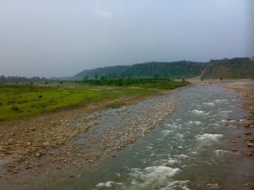 | ||
Nagrakata (community development block) is an administrative division in Malbazar subdivision of Jalpaiguri district in the Indian state of West Bengal. Nagrakata and Banarhat police stations serve this block. Headquarters of this block is at Nagrakata.
Contents
Map of Nagrakata, West Bengal 735225
Geography
Nagrakata is located at 26°52′52″N 88°54′18″E.
Nagrakata community development block has an area of 397.00 km2.
Gram panchayats
Gram panchayats of Nagrakata block/ panchayat samiti are: Angrabhasa I, Angrabhasa II, Champaguri, Looksan and Sulkapara.
Demographics
As per 2011 Census of India Nagrakata CD Block had a total population of 127,397 all of which were rural. There were 64,133 males and 63,264 females. Scheduled Castes numbered 17,626 and Scheduled Tribes numbered 62,624.
Literacy
As per 2011 census the total number of literates in Nagrakata CD Block was 67,646, out of which 39,138 were males and 28,508 were females.
Transport
NH 31C passes through the block.