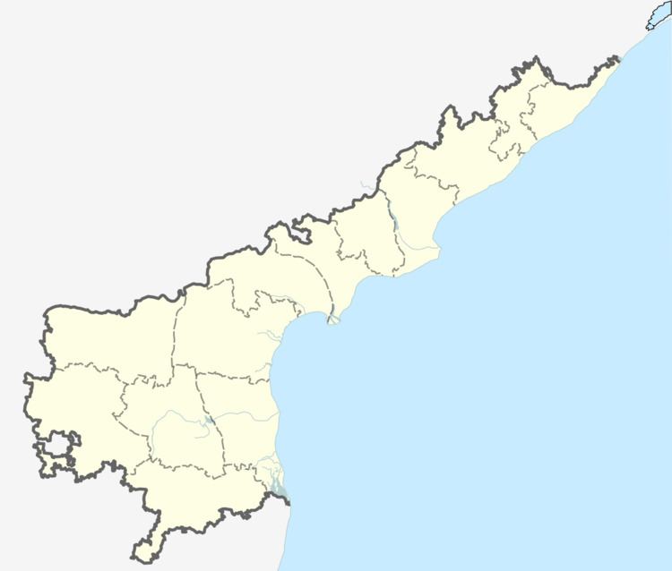
Country India District East Godavari PIN 533247 | State Andhra Pradesh Time zone IST (UTC+5:30) Elevation 30 m | |
 | ||
Nagaram (Telugu: నగరం; "The City") is a village in the East Godavari district of Andhra Pradesh in South India. Most of its people speak Telugu and Hindi, and very little English. The main religions in Nagaram are Islam, Hinduism, and Christianity. The village is surrounded by paddy fields and coconut trees.
Contents
Map of Nagaram, Andhra Pradesh 533247
Geography and climate
Nagaram is located at 16.501106°N 81.910726°E / 16.501106; 81.910726 at an average altitude of 30 metres (98 ft).
The climate in Nagaram is tropical. The average temperature is warm to hot around the year, and this implies that summer clothing suffices through most of the year. The summer season, especially from May to June, has the highest temperatures, which may exceed 40 °C (104 °F), but these are usually followed by monsoon rains in that season. The winter season begins in October and ends in February. This is the most enjoyable period of the year with a pleasant climate. Winter months may get more rainfall than summer but there are dry spells during the winter season. The southwest monsoon accounts for most of the rainfall in the area and much of it falls from about June to October. The wettest month is July. It also receive rains from the northeast monsoon from about November to February. The average humidity is 78% and the average annual temperature is around 28 °C (82 °F). The annual precipitation is about 905 millimetres (35.6 in).
