
Country Japan Prefecture Aichi Prefecture - Flower Satsuki azalea Local time Monday 8:42 AM | Region Chūbu (Tōkai) - Tree Maple Population 57,764 (May 2015) | |
 | ||
Time zone Japan Standard Time (UTC+9) Weather 10°C, Wind NW at 11 km/h, 63% Humidity Colleges and Universities Aichi Medical University, Aichi Shukutoku University, Aichi Prefectural University, Aichi Prefectural University | ||
Nagakute (長久手市, Nagakute-shi) is a city located in Aichi Prefecture, Japan.
Contents
- Map of Nagakute Aichi Prefecture Japan
- Geography
- Neighboring municipalities
- History
- Higher education
- Primary education
- Railway
- Highway
- Sister city relations
- Local attractions
- Noted people from Nagakute
- References
Map of Nagakute, Aichi Prefecture, Japan
As of May 2015, the city has an estimated population of 57,764 and a population density of 2,680 persons per km². The total area was 21.55 square kilometres (8.32 sq mi).
Geography
Nagakute is located the flatlands of central Aichi Prefecture, and is bordered by the metropolis of Nagoya to the west.
Neighboring municipalities
History
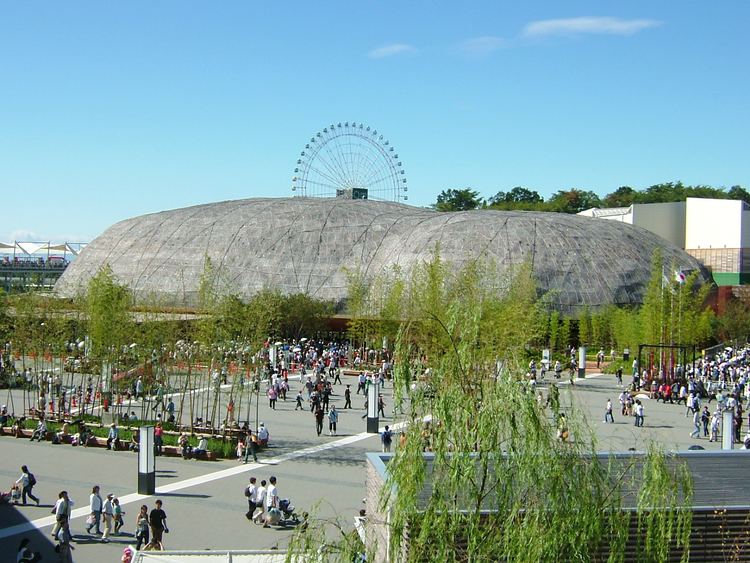
During the Sengoku period, the Battle of Komaki and Nagakute was held in this vicinity. During the Edo period area of modern Nagakute was part of the holdings of Owari Domain. Nagakute Village was established within Aichi District on May 10, 1906 through the merger of the hamlets of Nagakute (different spelling as 長湫村), Kamigō and Yazako. Nagakute was elevated to town status on April 1, 1971. Expo 2005 was a major boost to the local economy, and led to the construction of the Linimo, a commercial linear motor train, to connect the area with the Nagoya metropolis. Nagakute was elevated to city status on January 4, 2012.