Population Uninhabited | ||
 | ||
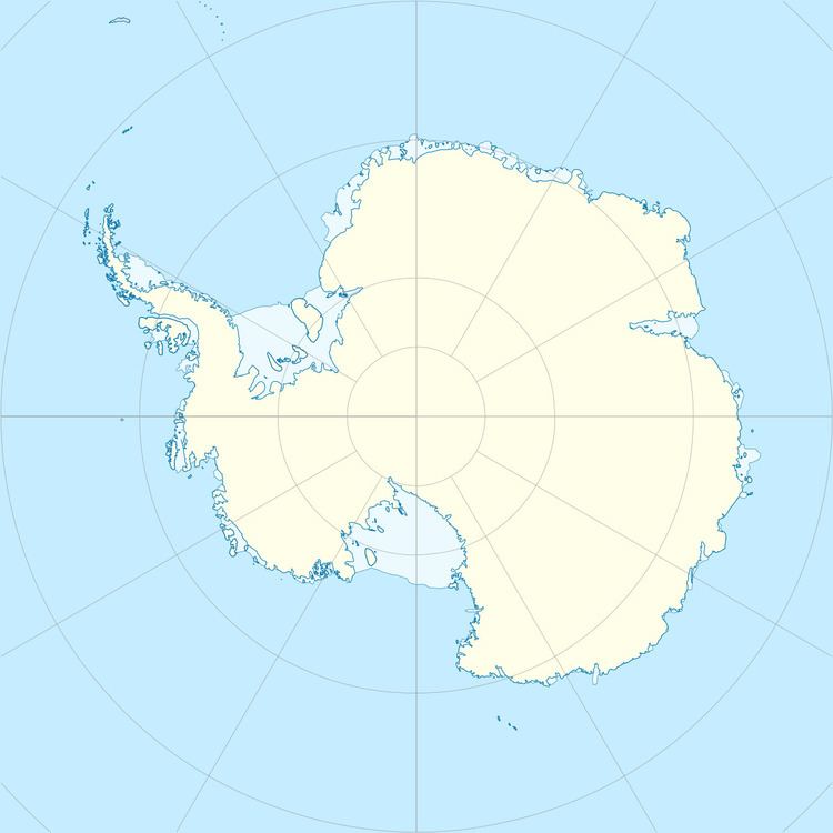
Nabbøya is a high, small, bare rock island lying 1.9 kilometres (1 nmi) west of Hamnenabben Head in the east part of Lutzow-Holm Bay. Mapped by Norwegian cartographers from air photos taken by the Lars Christensen Expedition, 1936–37, and named Nabbøya (the peg island).
References
Nabbøya Wikipedia(Text) CC BY-SA
