
District Bardhaman Elevation 32 m | Time zone IST (UTC+5:30) Vehicle registration WB Local time Monday 1:13 AM | |
 | ||
Weather 22°C, Wind NE at 6 km/h, 68% Humidity | ||
Nabagram is a village in Ajhapur gram panchayat of Jamalpur block in Bardhaman Sadar South subdivision of Bardhaman district in the Indian state of West Bengal.
Contents
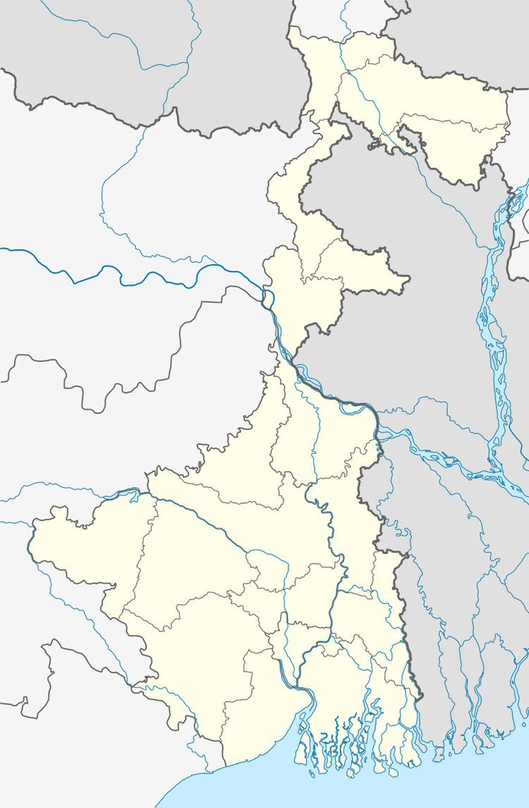
Map of Nabagram, West Bengal 713166
Geography
Nabagram is located at 23°07′03″N 88°02′59″E.
Transport
Nabagram railway station is 69 kilometres (43 mi) from Howrah Station on the Howrah Burdwan chord line. It is 26 km from Barddhaman Railway Station. The village is beside of NH 19 Durgapur Expressway, so the transportation and the linking with the major cities by road and rail transport is easy to access this village. The streets are quite good for transport. All areas of Nabagram are accessible by cars.
Economy
The main occupation of the large no of peoples are farming but now a days the quantity jobs for people increases only because of eastern railway chord line local train services.
In this village there are 1 co education 12th std. high school with approx 1,500 students, 1 Junior High School, hospitals, State Bank Of India Bank with ATM, Bandhan Bank, a sub post office, market etc..
Healthcare
There is a primary health centres at Nabagram.