
Area 1,793 km² Population 46,606 (2010) | Elevation 670 m (2,200 ft) Climate Aw Local time Thursday 10:18 PM | |
 | ||
Weather 21°C, Wind W at 6 km/h, 95% Humidity Team Porcelana Futebol Clube do Cazengo | ||
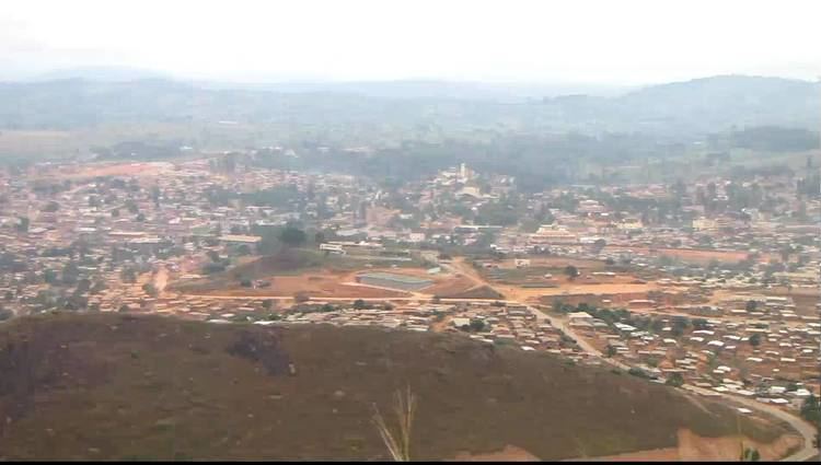
N'dalatando (also spelt as Ndalatando; former official name: Vila Salazar) is a town and commune in the municipality of Cazengo, province of Cuanza Norte, Angola.
Map of N'dalatando, Angola
It is also the seat of the Cazengo municipality and the provincial capital.
N'dalatando was named Salazar by the Portuguese colonial authorities in 1936, honoring the Portuguese dictator Salazar. This was later modified to Vila Salazar. On 28 May 1956, the town was elevated to the status of city (cidade in Portuguese). After gaining independence on 11 November 1975, the Angolan government gave it back the name N'dalatando, effective 18 July 1976. The history of the place is traced back to the 1840s.
The city is limited in the north by the river Luinha, and in the east, south and west by the Lucala River.
It is served by a station on the northern railway of Luanda Railway. The national road No. 230 links N'dalatando to Luanda in the West and Malanje in the East.
The city is home to Angola's sole botanic garden. The garden was founded as part of a Portuguese agricultural research station and contains some impressive specimens of bamboos, rubber trees, podocarps and fruit trees. The garden also contains a large plantation of tlingera elatior forbs (porcelain roses) for local trade.