
Population 771 (2011 census) Local time Thursday 6:17 PM | Postcode(s) 5254 Postal code 5254 | |
 | ||
Weather 25°C, Wind S at 23 km/h, 50% Humidity | ||
Mypolonga is a settlement in South Australia on the bank of the lower Murray River. In the 2011 census, Mypolonga recorded a population of 771.
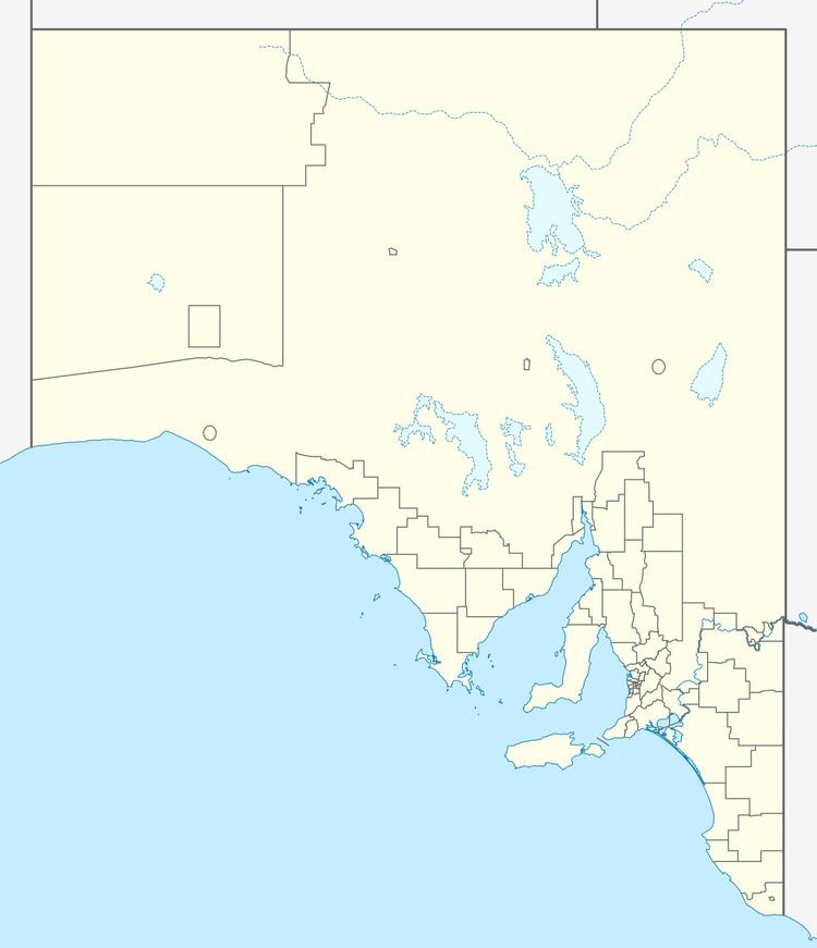
Map of Mypolonga SA 5254, Australia
Mypolonga was surveyed in 1915. Its name is from an Aboriginal name for Cliff Lookout Place.
References
Mypolonga, South Australia Wikipedia(Text) CC BY-SA