OS grid reference SO389895 Unitary authority Dialling code 01588 Post town Lydbury North | Civil parish Myndtown Sovereign state United Kingdom | |
 | ||
Myndtown (sometimes formerly spelt Mindtown) is a small village and civil parish in rural Shropshire, around 5 miles to the north-east of Bishop's Castle.
Map of Myndtown, Lydbury North, UK
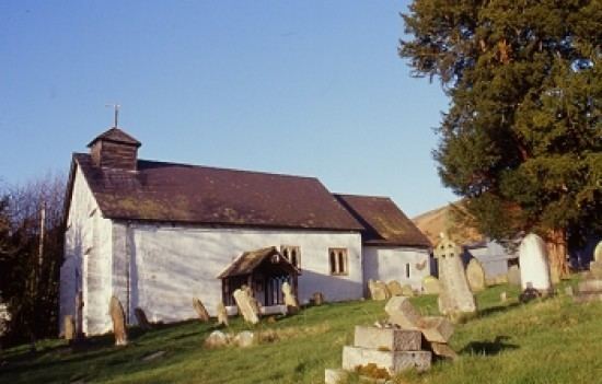
The village of Myndtown itself lies immediately beneath the slope of the Long Mynd; it consists of only one farm, the former rectory and the small parish church of St. John, which has 12th-century origins and is Grade II listed. The parish is sparsely populated and includes some other small settlements such as Asterton.
References
Myndtown Wikipedia(Text) CC BY-SA
