
Country United States FIPS code 38-55220 Elevation 505 m Population 21 (2013) Local time Thursday 1:32 AM | Time zone Central (CST) (UTC-6) GNIS feature ID 1030349 Area 236 ha Zip code 58353 Area code 701 | |
 | ||
Weather -3°C, Wind S at 19 km/h, 96% Humidity | ||
Mylo is a city in Rolette County, North Dakota, United States. The population was 20 at the 2010 census,
Contents
Map of Mylo, ND 58353, USA
History
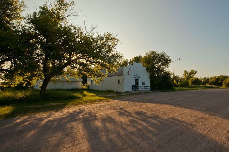
Mylo was laid out in 1905. A post office has been in operation at Mylo since 1905.
Geography
Mylo is located at 48°38′9″N 99°37′6″W (48.635874, -99.618277).
According to the United States Census Bureau, the city has a total area of 0.91 square miles (2.36 km2), all of it land.
2010 census
As of the census of 2010, there were 20 people, 9 households, and 4 families residing in the city. The population density was 22.0 inhabitants per square mile (8.5/km2). There were 12 housing units at an average density of 13.2 per square mile (5.1/km2). The racial makeup of the city was 95.0% White and 5.0% Native American.
There were 9 households of which 22.2% had children under the age of 18 living with them, 44.4% were married couples living together, and 55.6% were non-families. 44.4% of all households were made up of individuals and 22.2% had someone living alone who was 65 years of age or older. The average household size was 2.22 and the average family size was 3.50.
The median age in the city was 45.5 years. 30% of residents were under the age of 18; 0.0% were between the ages of 18 and 24; 20% were from 25 to 44; 40% were from 45 to 64; and 10% were 65 years of age or older. The gender makeup of the city was 50.0% male and 50.0% female.
2000 census
As of the census of 2000, there were 19 people, 10 households, and 7 families residing in the city. The population density was 21.0 people per square mile (8.2/km²). There were 14 housing units at an average density of 15.5 per square mile (6.0/km²). The racial makeup of the city was 100% White.
There were 10 households out of which 10.0% had children under the age of 18 living with them, 70.0% were married couples living together, none had a female householder with no husband present, and 30.0% were non-families. 30.0% of all households were made up of individuals and 30.0% had someone living alone who was 65 years of age or older. The average household size was 1.90 and the average family size was 2.29.
In the city, the population was spread out with 10.5% under the age of 18, 5.3% from 18 to 24, 15.8% from 25 to 44, 31.6% from 45 to 64, and 36.8% who were 65 years of age or older. The median age was 60 years. For every 100 females there were 137.5 males. For every 100 females age 18 and over, there were 112.5 males.
The median income for a household in the city was $28,750, and the median income for a family was $45,000. Males had a median income of $31,250 versus $28,750 for females. The per capita income for the city was $23,279. None of the families and 8.3% of the population were below the poverty line, including none of those under the age of 18 and 100.0% of those 65 and older.