
Elevation 1,300 m | Climate Cwa Local time Wednesday 7:10 PM | |
 | ||
Weather 22°C, Wind SE at 10 km/h, 84% Humidity | ||
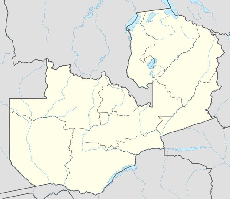
Mutanda is a town in Solwezi District, North-Western Province, Zambia. It is approximately 33 kilometres (21 mi), by road, southwest of Solwezi, where the district headquarters are located. Mutanda is situated approximately 500 kilometres (310 mi), by road, northwest of Lusaka, the capital.
Contents
Map of Mutanda, Zambia
Population
As of December 2010, the population of Mutanda is estimated at about 2,000 people.
Landmarks
In Mutanda, or near its borders, there are the following landmarks:
References
Mutanda, Zambia Wikipedia(Text) CC BY-SA