
Location Abbottabad, Pakistan Elevation 4,080 m | Parent range Himalaya | |
 | ||
Similar Malika Parbat, Makra Peak, Miranjani, Ganga Choti, Mukeshpuri | ||
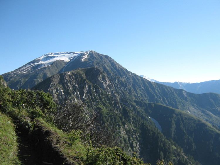
Musa Ka Musala stands at an altitude of 4080 meters at the junction of Siran and Kaghan Valleys in Himalaya. The name translates to “Moses’ Mat” which has different stories associated with it. While some believe it to be named after a local shepherd with the name of Musa who used to pray at the peak, some even attribute it to the prophet Moses. At the top, there is a Shrine made up of different stones and marked with colorful flags. Its status has always been debatable whether, it is a peak or plateau.
Map of Musa ka Musalla, Allai, Pakistan
It is situated 150 kilometres (93 mi) north of the city of Abbottabad in Himalayas, Pakistan. A road from Shinkiari, a tehsil of District Mansehra, leads up to Mandagucha the most frequently used trek is Mandagucha, Jacha, Bikhi, Jabbar, Khorri (Gali) and Choti ZiaraGali.
The mountain is 4,076 metres (13,400 ft) above sea level and can be seen from places 200 kilometres (120 mi) away. The mount has the appearance of a prayer mat so it is named Musa Ka Musala, meaning Moses' prayer mat. The mountain is icescaped all year long. The mountain top is considered a ziarat {Islamic shrine} by the locals, as a shepherd, in old times, used to offer his daily prayers at the peak. The mountain is surrounded by Khunda (Gali) Peak, which very much resembles K2.
Imran Junaidi (from Pakistan) is first mountaineer to summit Musa ka Musalla in winter. However, it is easy to climb in summer.