
Time zone IST (UTC+5:30) Population 18,472 (2011) | Tahsil Umarga Elevation 548 m Local time Wednesday 8:07 AM | |
 | ||
Weather 27°C, Wind SE at 6 km/h, 29% Humidity | ||
Murum is a town with a municipal council in Osmanabad district in the Indian state of Maharashtra. It is 9 km away from National Highway 9, and
Contents
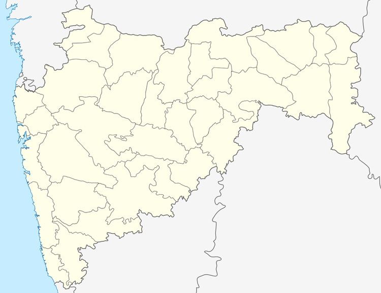
Map of Murum Rural, Maharashtra 413605
Geography
It has an average elevation of 548 metres (1797 feet).
Demographics
In the 2011 census, Murum had a population of 18,472. Kannada, the native language of the town is spoken along with the official language Marathi.
Education
The town has two colleges, Shree Madhavrao Patil College and a junior college.
There are two zilla parishad and four other schools: partibha niketan vidhyalya, nutan school, shantiniketan school.
Economy
Town has a sugar factory named Vitthal Sahakari Sakhar Karkhana which provides employment to people. Town has a main market place, the villagers from neighbouring places comes to Murum for shopping and hospitals. The main occupation of people is farming and business related to them. Much of the land is non-irrigated. Also it is an important political and financial centre for the district. There is a good market for agricultural products.