
 | ||
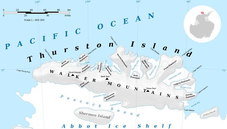
Murphy Inlet is an ice-filled inlet about 18 nautical miles (33 km) long, with two parallel branches at the head, lying between Noville and Edwards Peninsulas on the north side of Thurston Island. Delineated from aerial photographs taken by U.S. Navy Operation Highjump in December 1946. Named by Advisory Committee on Antarctic Names (US-ACAN) for Charles J. V. Murphy, assistant to R. Admiral Byrd after Byrd Antarctic Expedition of 1928-30, and member of the wintering party of Byrd Antarctic Expedition of 1933-35.
Maps
References
Murphy Inlet Wikipedia(Text) CC BY-SA