
Established 1897 Elevation 392 m Postal code 6430 | Postcode(s) 6430 Founded 1897 | |
 | ||
Weather 17°C, Wind NE at 29 km/h, 69% Humidity | ||
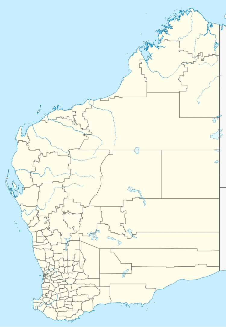
Mungari is a ghost town in Western Australia, located between Coolgardie and Kalgoorlie in the Goldfields-Esperance region of Western Australia.
The town originated as a stop along the on the railway line between Kalgoorlie and Coolgardie and by 1897 lots were surveyed and a hotel was swiftly built. The name of the town was initially Mungarrie, but this was thought to be too close to the name of another mining town, Mulgarrie, so the spelling was altered to Mungarri. A reserve for the townsite was gazetted in 1897, and the townsite was gazetted in 1904 and spelt as Munngari. The town served as a military training camp during World War I. The spelling of the town was changed to Mungari in 1974.
References
Mungari, Western Australia Wikipedia(Text) CC BY-SA