
Population 218 (2006 census) County Wynyard Elevation 303 m Local time Wednesday 2:35 AM | Postcode(s) 2729 Postal code 2729 Lga City of Wagga Wagga | |
 | ||
Weather 21°C, Wind NE at 6 km/h, 92% Humidity | ||
Mundarlo is a farming community in the central east part of the Riverina and situated about 13 kilometres south east from Wantabadgery and 18 kilometres north west from Tumblong. At the 2006 census, Mundarlo had a population of 218 people.
Map of Mundarlo NSW 2729, Australia
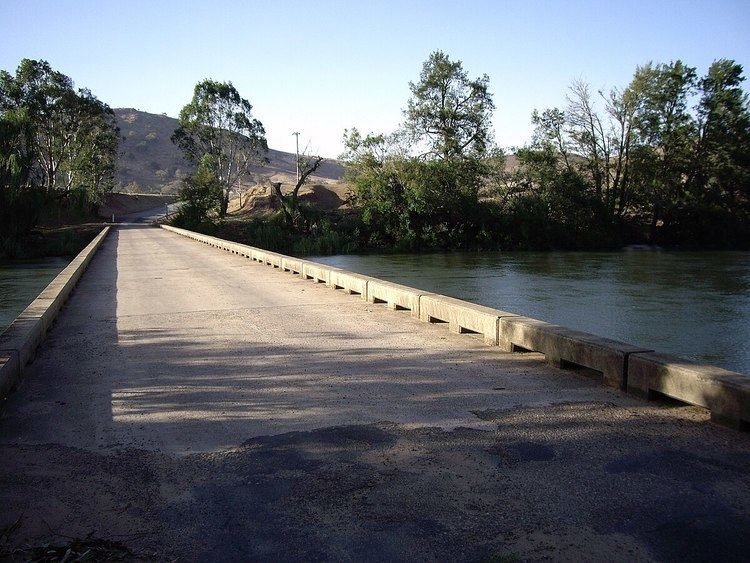
Mundarlo is situated on the southern bank of the Murrumbidgee River and there is a low level concrete bridge river crossing at its location.
Mundarloo (as spelt then) Post Office opened on 1 February 1872 but closed the next year.
References
Mundarlo, New South Wales Wikipedia(Text) CC BY-SA