
Country United States FIPS code 40-49860 Elevation 255 m Population 0 (2000) | Time zone Central (CST) (UTC-6) GNIS feature ID 1102947 Area 10 ha Local time Tuesday 4:24 AM | |
 | ||
Weather 21°C, Wind S at 8 km/h, 51% Humidity | ||
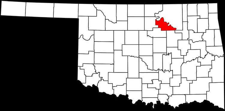
Mule Barn was a town in Pawnee County, Oklahoma, United States. Its population was zero on both the 1990 and 2000 censuses.
Map of Mule Barn, OK 74020, USA
According to the United States Census Bureau, the town has a total area of 0.0 square miles (0 km2), all land. The town is located at 36.21737 N, 96.31142 W.
Oklahoma law provides for the dissolution of towns under certain circumstances, including the lack of recent elections. However, the Census Bureau reported no changes to the municipal status of Mule Barn between 2000 and 2006. The town did get dissolved in 2008.
References
Mule Barn, Oklahoma Wikipedia(Text) CC BY-SA