
Country United States County Adair FIPS code 40-49825 Elevation 305 m Population 138 (2010) | Time zone Central (CST) (UTC-6) GNIS feature ID 2584385 Area 240 ha | |
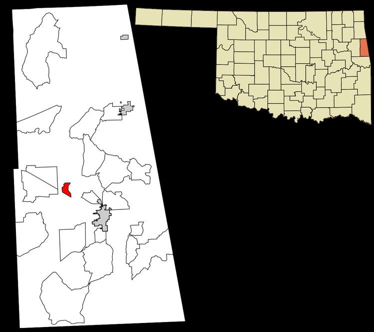 | ||
Mulberry is a census-designated place (CDP) in Adair County, Oklahoma, United States. The population was 138 at the 2010 census.
Geography
Mulberry is located at 35°51′45″N 94°42′0″W, along Oklahoma State Highway 51. It is 6 miles (10 km) northwest of Stilwell, the county seat, and 18 miles (29 km) east of Tahlequah in Cherokee County.
According to the United States Census Bureau, the CDP has a total area of 0.93 square miles (2.4 km2).
References
Mulberry, Oklahoma Wikipedia(Text) CC BY-SA