
Location Kayin State, Myanmar Elevation 2,005 m Easiest route Climbing | First ascent unknown Mountain range Dawna Range Parent range Dawna Range | |
 | ||
People also search for Myinmoletkat Taung, Mela Taung | ||
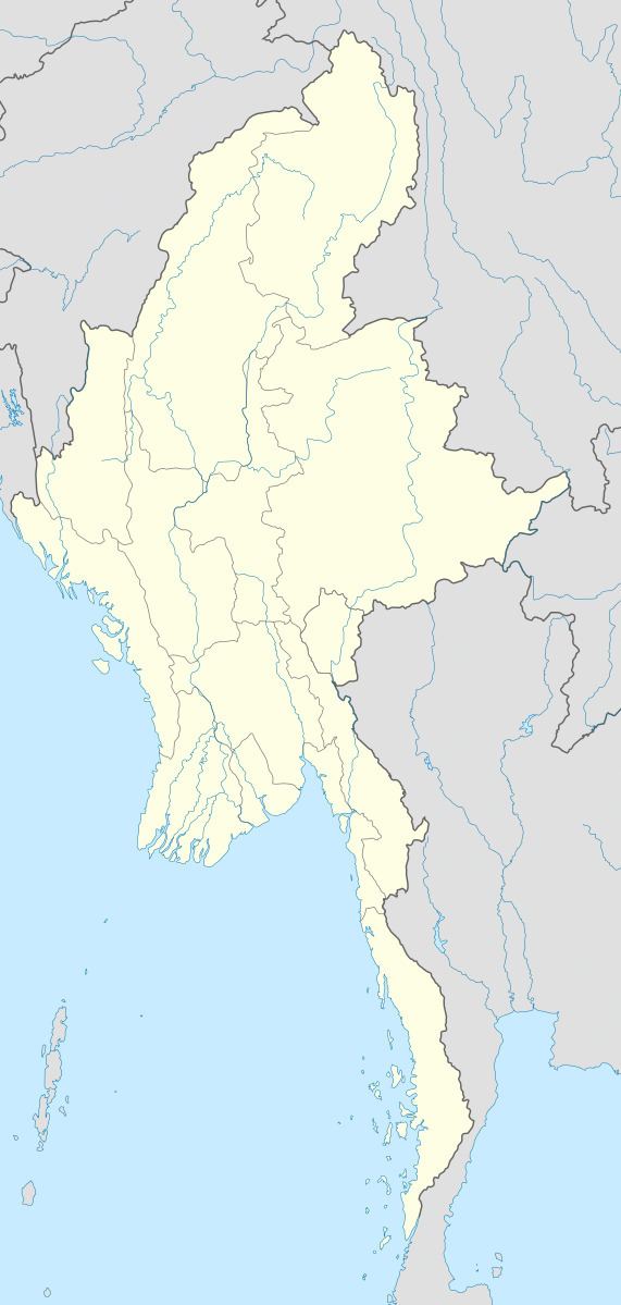
Mulayit Taung, also known as Muleh Yit, is a mountain of the Dawna Range. It is located towards the southern end of the range in Kayin State, Burma, 12 km to the NNW of the border with Thailand.
Map of Mulayit Taung, Myanmar (Burma)
The Tenasserim white-bellied rat (Niviventer tenaster), the silver-eared laughingthrush (Trochalopteron melanostigma) and the grey-sided thrush (Turdus feae), a vulnerable species, are found in the Mulayit Taung area.
References
Mulayit Taung Wikipedia(Text) CC BY-SA