
 | ||
Similar Nyungwe Forest, Akagera National Park, Saanane Island National, Volcanoes National Park, Kibira National Park | ||
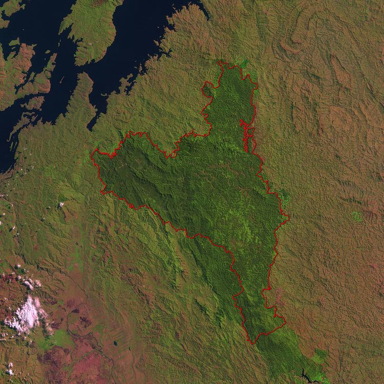
Mukura Forest is a protected reserve in the North-West part of Rwanda, covering about 12.00 km²
The Mukura Forest is situated in western Rwanda's Albertine Rift Region, which lies in the Congo-Nile crest. Once part of a swath of sweeping mountain forest that extended all the way from Nyungwe to the Volcanos Park, the Mukura is now a small isolated chunk of forest.
Mukura was designated a reserve in 1951. Back then, it covered an area of 30,000 hectares. Tragically, nearly half of the total forest cover and bio-diversity have been lost since, leaving the forest with only an area of 16,000 hectares. A host of factors have led to this decline. Nearly 600 people inhabit every square kilometer in the area. This combined with the fact that the average household income is three dollars leaves the forest as the only viable means of resources.
The annual temperature of Mukura Forest is 15 °C. The forest rises to an average height of 2600 meters above sea level. The forests receive 1500 mm of rainfall annually.