
Country Brunei | District Temburong District | |
 | ||
Time zone Brunei Standard Time (UTC+8) | ||
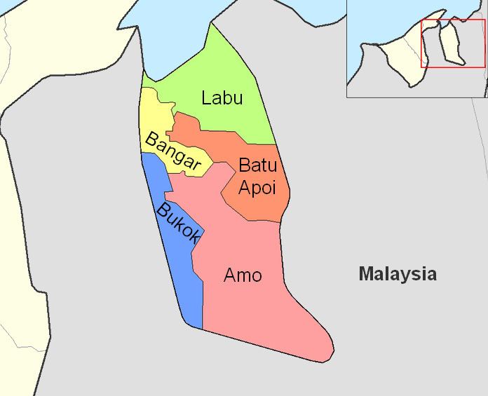
Bangar is a mukim in the Temburong District of Brunei. It is located in the north-west of the Temburong District bordering Mukim Labu to the north, Mukim Batu Apoi to the east, Mukim Amo to the south-east, Mukim Bokok to the south-west and Limbang, Sarawak (Malaysia) to the west and north. Mukim Bangar has one island within its vicinity which is Pulau Kibi.
Contents
Areas and divisions
Mukim Bangar includes these following areas:
Other locations
Other locations within the mukim include:
Border crossings
There is a road border crossing into Malaysia's Sarawak state at Kampung Puni, 5km from Bangar town. Previously the crossing had to be done by vehicular ferry across the Pandaruan River which forms the Brunei-Malaysia border. However, a Malaysia-Brunei Friendship Bridge had been constructed and opened to vehicular traffic on 8 December 2013.
Both Brunei and Malaysia have constructed new customs, immigration and quarantine checkpoints at the location of the crossing. Before the construction of the bridge, the Brunei customs, immigration and quarantine checkpoint is located 500m from the ferry landing towards Bangar, while Malaysian customs and immigration procedures had to be carried out at Limbang wharf in Limbang 15km away until a checkpoint was opened at Pandaruan.