
Population 1,107 (2006 census) Local time Tuesday 1:45 PM | ||
 | ||
LGA(s) Shire of Mount Alexander Weather 26°C, Wind N at 14 km/h, 68% Humidity | ||
Muckleford is a small regional area in central Victoria, Australia. The area, also known as Wattle Flat, lies along the Muckleford Creek, a minor tributary of the Loddon River approximately 127 kilometres northwest of the Melbourne City Centre and within the jurisdiction of the Mount Alexander Shire council. The original township is named after the English hamlet of the same name in Dorset.
Contents
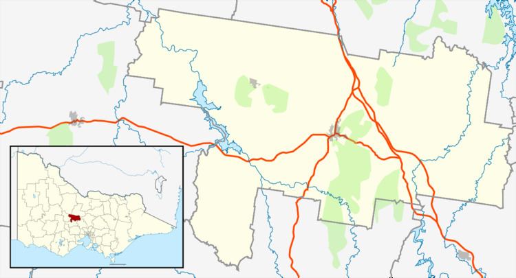
Map of Muckleford VIC 3451, Australia
Geography
The region is characterised by gently undulating terrain featuring several hilly farms and rural properties. For much of the year the land experiences relatively dry conditions, more suited to sheep farming than dairying. There is no commercial shopping center to serve the scattered farms, houses, and occasional rural commerce. In the 2006 census, it had a population of 1107. The land to the west of Muckleford features sparse forest of Box Ironbark that was mined for gold in some areas during the 19th century. This western forest contains many remnants of the local mining history including several open and covered holes and one poppet head used in shaft mining which belonged to the 'Red White and Blue' mine.
Muckleford is crossed by several roads. Rilens Road, constructed solely of gravel, historically carried a single raised telephone wire on poles to service local farms and houses. It runs west starting from the Pyrenees Highway (Highway 6180), and crosses the Muckleford Walmer Road which runs north to south. Striking the Muckleford Creek it crosses over and then leads into a thin eucalypt forest. The Muckleford Walmer Road has several farms, a retired red brick church, and Muckleford Cemetery.
The Pyrenees Highway connects Castlemaine to Newstead. The Maldon to Castlemaine highway also cuts through Muckleford's regions and runs chiefly west to east. Adjacent to the Castlemaine Golf Club is the Castlemaine Steiner School & Kindergarten, which was founded in 1987. Muckleford Creek rises below Walmer and eventually flows into the Loddon River.
History
The original inhabitants of the area where the Dja Dja Wurrung people, who, following a nomadic lifestyle, explored much of the district. Major Thomas Mitchell travelled through the area in 1836 while undertaking an expedition of what was to become Victoria. Squatters arrived a few years later and established a handful of small 'runs' and formal Pastoral leases became available during the late 1840s.
Gold was discovered near Muckleford in the early 1850s and a small town quickly sprung up in the vicinity of the Maldon to Castlemaine Road and Muckleford Creek crossing. This town was built to serve the needs of the prospectors and speculators which had risen to over 2000 persons. Within a year there were two hotels, Monk's and Simson's together with an Anglican school which was later replaced by a Government State School in 1877. Muckleford Post Office opened on 1 August 1857 and closed in 1966.
A railway station was constructed to the north of the township, on the Castlemaine to Maldon line, in 1884 and became known as the Muckleford railway station. This station, along with a large goods shed has been restored and forms part of the Victorian Goldfields Railway line. A steam train runs twice a week through and stops at Muckleford station. With the railway becoming a tourist attraction in the area.
Up until around 2015 the area had experienced severe drought conditions and some of the smaller creeks which fed the larger tributaries ran dry for several years.
Attractions
The 18-hole golf course Castlemaine Golf Club is situated at the crossroads of Rilens Road, and the Pyrenees Highway. Set in natural bushlands the clubhouse is also available for functions.
The Muckleford State Forest and recreation area incorporates a number of facilities for visitors which include mining relics, picnic area, walking tracks and native flora and fauna.