
Discharge 50.44 m³/s Basin area 1,270 km² Source Mount Karifuri Mouth elevation 0 | Length 135 km | |
 | ||
- average 50.44 m/s (1,781 cu ft/s) | ||
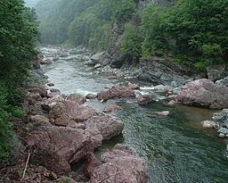
Mu River (鵡川, Mu-kawa) is a river in Hokkaidō, Japan. Located in Kamikawa and Iburi subprefectures, it is one of 13 major 'class 1' rivers on the island.
Contents
- Map of Mu kawa Wakakusa Mukawa Yufutsu District Hokkaido Prefecture Japan
- Course
- Tributaries
- References
Map of Mu-kawa, Wakakusa, Mukawa, Yufutsu District, Hokkaido Prefecture, Japan
Course
The Mu River rises on the slopes of Mount Karifuri in the Hidaka Mountains. It flows south and west until it reaches the Pacific Ocean at Mukawa.
Tributaries
Shimukappu (upper reaches):
Mukawa (lower reaches):
References
Mu River (Hokkaidō) Wikipedia(Text) CC BY-SA