
Country United States County Grayson Area code(s) 270 Elevation 218 m | State Kentucky Time zone Central (CST) (UTC-6) GNIS feature ID 508653 Local time Monday 9:00 AM | |
 | ||
Weather 12°C, Wind SE at 6 km/h, 52% Humidity | ||
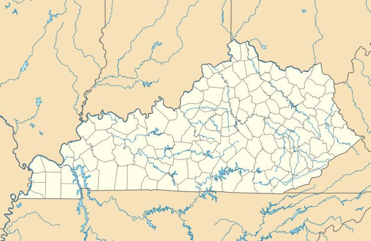
Moutardier is an unincorporated community in Grayson County, Kentucky, United States. Moutardier is located on Kentucky Route 259, 10.3 miles (16.6 km) south-southeast of Leitchfield.
Map of Moutardier, Kentucky 42754, USA
References
Moutardier, Kentucky Wikipedia(Text) CC BY-SA