
Topo map USGS Mount Zion Elevation 1,304 m | Easiest route Trail hike Prominence 402 m | |
 | ||
Similar Mount Townsend, Buckhorn Mountain, Mount Deception, Mount Constance, Mount Ellinor | ||
Mount Zion is a 4,278-foot (1,304 m) peak in the Olympic National Forest. The peak is located 9.5 miles (15.3 km) northwest of Quilcene, and near Lords Lake and Bon Jon Pass. Billed as one of the easier hikes in the Olympics, Zion offers a 1,340-foot (410 m) elevation gain in just under 2 miles (3.2 km).
Contents
Map of Mt Zion, Washington 98376, USA
Trail CharacteristicsEdit
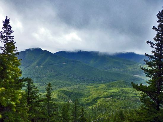
For those testing its trail in June and July, rhododendrons in full bloom crowd the sides of the path. The trail ascends through remnants of long-ago fires, second growth fir and cedar, spring blooming rhododendrons, Oregon grape, salal and leafy ferns. Near the top of the trail, basalt monoliths rise from the wooded slopes. One of the tallest offers westward views of Gray Wolf Ridge.
Views of the Olympic Mountains are screened by trees, but glimpses of Mount Baker and Mount Shuksan are there for the taking to the northeast and Mount Rainier can be seen to the southeast.