
Topo map USGS Mount Wood MT Prominence 872 m | Elevation 3,859 m Parent range Salt River Range | |
 | ||
Mountain range Rocky Mountains, Salt River Range People also search for Castle Mountain, Mount Hague | ||
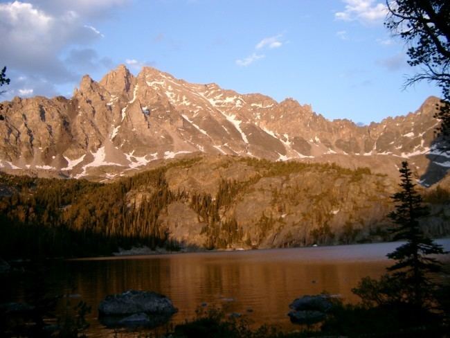
Mount Wood (12,660 feet (3,859 m)) is the highest summit in the Granite Range, a subrange of the Beartooth Mountains in the U.S. state of Montana. It is located within the Custer National Forest.
Map of Mt Wood, Montana 59061, USA
References
Mount Wood (Montana) Wikipedia(Text) CC BY-SA