
Country United States FIPS code 32-49425 Area 11.9 km² | Time zone Pacific (PST) (UTC-8) Elevation 2,056 m Population 33 (2010) | |
 | ||
Mount Wilson is a census-designated place in Lincoln County, Nevada, United States. As of the 2010 census it had a population of 33.
Contents
Map of Mt. Wilson, Pioche, NV 89043, USA
Geography
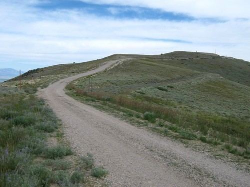
The CDP takes its name from Mount Wilson, a 9,315-foot (2,839 m) summit that rises to the east of the community and is part of the Wilson Creek Range. The CDP is located on Mount Wilson Road, 8 miles (13 km) east of U.S. Route 93, along which it is 23 miles (37 km) south to Pioche and 84 miles (135 km) north to Ely.
According to the U.S. Census Bureau, the Mount Wilson CDP has an area of 4.6 square miles (11.9 km2), all of it land.
References
Mount Wilson, Nevada Wikipedia(Text) CC BY-SA