
Topo map NTS 92C/16 Prominence 889 m | Elevation 1,539 m | |
 | ||
Similar Mount Moriarty, Maple Mountain, Mount Benson, Mount Arrowsmith, Golden Hinde | ||
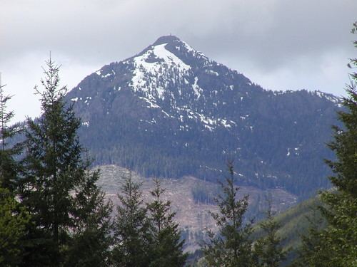
Mount Whymper is a mountain located on Vancouver Island, British Columbia. It is the highest point in Canada located south of the 49th parallel and is located between the headwaters of the Chemainus River and the South Nanaimo River 14 km (9 mi) north of Honeymoon Bay.
Contents
Map of Mount Whymper, Cowichan Valley G, BC, Canada
HistoryEdit
The mountain is named in 1864 for Frederick Whymper who accompanied Robert Brown on the Vancouver Island Exploring Expedition
There is another Mount Whymper in British Columbia, named for Frederick's brother Edward Whymper.
References
Mount Whymper (Frederick) Wikipedia(Text) CC BY-SA