
Location Algeria Prominence 2,328 m | Elevation 2,908 m First ascent 1931 | |
 | ||
Similar Djebel Chélia, Emi Koussi, Lalla Khedidja, Adrar des Ifoghas, Toubkal | ||
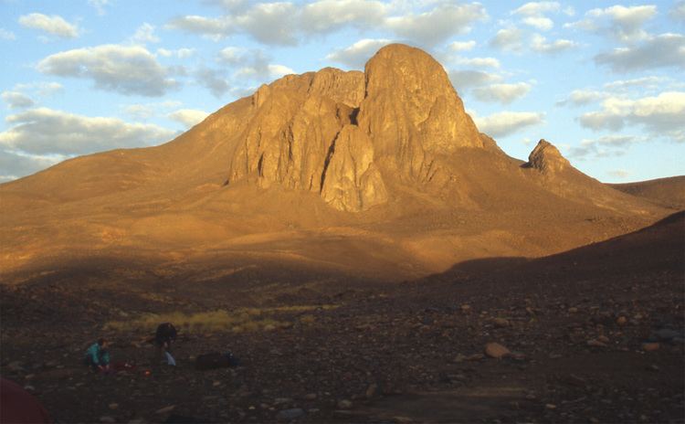
Mount Tahat (Arabic: جبل تاهات) is the highest mountain peak in Algeria at 2,908 metres (9,541 ft). Tahat is also the highest peak in the Ahaggar Mountains. Its nearest city is Tamanrasset which is located 56 km to the south.
Map of Mount Tahat, Tamanrasset, Algeria
Mount Tahat is of volcanic origin. It is located in an arid, rocky high plateau area of the central Sahara Desert. The Tuareg inhabit this region. To the north lie the Tassili n'Ajjer mountains with cave paintings dating from a period between 8000 and 2000 BC depicting scenes of cattle breeding and hunting of animals that are today exclusively found in the southern Sahara's climate.
References
Mount Tahat Wikipedia(Text) CC BY-SA