
Local time Monday 3:10 AM | ||
 | ||
Weather 13°C, Wind S at 14 km/h, 61% Humidity | ||
Mount Sterling is an unincorporated community in western Gasconade County, Missouri, United States.
Contents
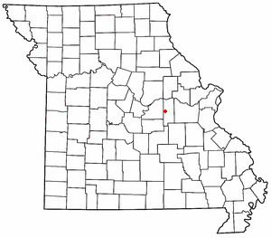
Map of Mt Sterling, MO 65062, USA
Location
Mount Sterling is located at the intersection of U.S. Route 50 and Route A. The Gasconade River runs through the town, from south to north. The county seat of Hermann is 19.4 miles to the northeast.
History
A part of the Louisiana Purchase, Mount Sterling was first settled by American pioneers in the 1820s. In 1828, the Gasconade County seat was moved from Bartonville to Mount Sterling due to flooding problems from the Gasconade River in the low-lying town.
In 1843, county residents voted to move the county seat again, this time to the larger city of Hermann, located at the Missouri River.
A post office called Mount Sterling was established in 1843, and remained in operation until 1965. It is unknown why the name "Mount Sterling" was applied to this community.