Topo map USGS Mount Sizer Parent range Diablo Range | Elevation 980 m Easiest route Hiking | |
 | ||
Similar Mount Stakes, Mount Boardman, Discovery Peak, Rose Peak, Mount Allison | ||
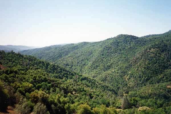
Mount Sizer is a prominent peak located on Blue Ridge in Henry W. Coe State Park, just east of Morgan Hill, California. Because Mount Sizer is the highest point on Blue Ridge and under 10 miles (16 km) from the park's headquarters, it makes it an ideal destination for day hikers. There are two ways to reach the summit. One by trails and one by a combination of trail and fire road. The fire road route leads you almost directly up Blue Ridge to Mount Sizer and is affectionately nicknamed "The Shortcut". This road rises roughly 1,500 feet (457 m) in 1.3 miles (2.1 km) giving it an average grade of 22%. Paved roads in California seldom exceed an 8% grade.
Map of Mt Sizer, California 95037, USA
References
Mount Sizer Wikipedia(Text) CC BY-SA
