
Age of rock 200 Ma | Mountain type Fault-block; igneous | |
 | ||
Elevation est. 886 ft (270 m) ridge high point Similar Peter's Rock, Chauncey Peak, Totoket Mountain, East Peak, Sleeping Giant | ||
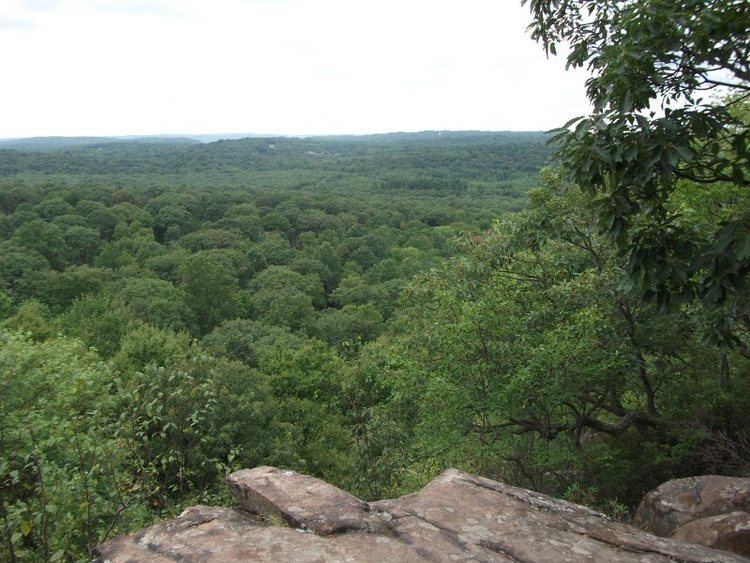
Mount Sanford of south-central Connecticut, est. 886 feet (270 m), is the high point on a 2.25-mile (3.6 km) long traprock mountain ridge located 10 miles (16 km) northwest of the city of New Haven. Mount Sanford is part of the narrow, linear Metacomet Ridge that extends from Long Island Sound near New Haven, north through the Connecticut River Valley of Massachusetts to the Vermont border. The Metacomet Ridge continues north from Mount Sanford as Peck Mountain and south as Mad Mare Hill and West Rock Ridge.
Contents
Map of Mt Sanford, Bethany, CT 06518, USA
Recreation and conservation
The ridgeline of Mount Sanford is traversed by the 23-mile (37 km) Quinnipiac Trail; the summit of the mountain lies within the Naugatuck State Forest.
References
Mount Sanford (Connecticut) Wikipedia(Text) CC BY-SA