Country United States Elevation 317 m Local time Monday 12:57 AM | GNIS feature ID 0473489 Area 123.6 km² Population 864 (2010) | |
 | ||
Weather 22°C, Wind S at 19 km/h, 61% Humidity | ||
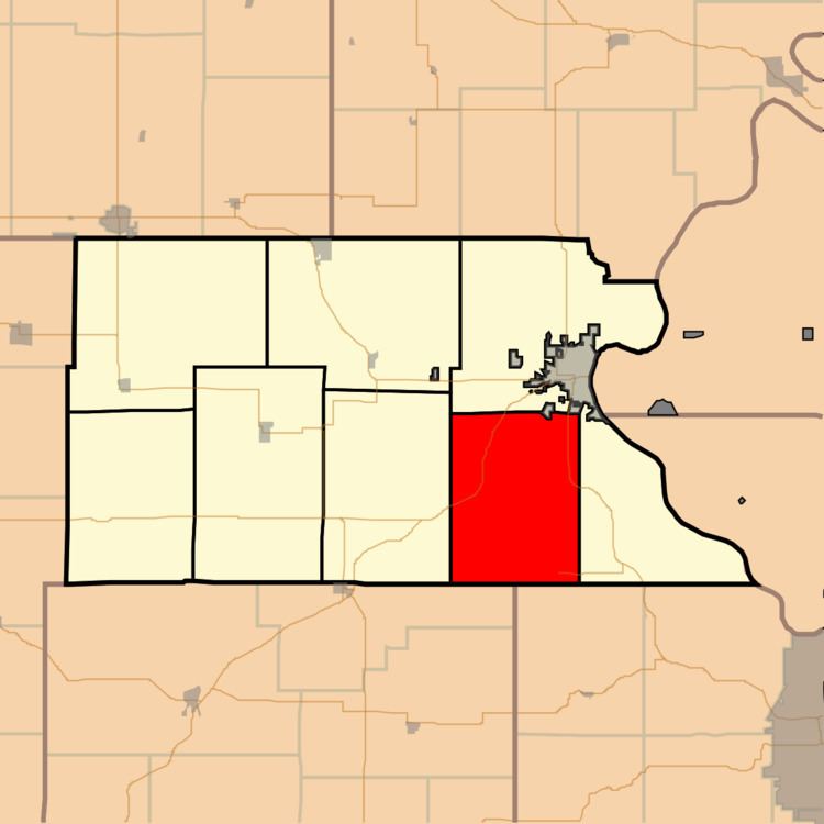
Mount Pleasant Township is a township in Atchison County, Kansas, United States. As of the 2010 census, its population was 864.
Contents
Map of Mt Pleasant, KS, USA
History
Mount Pleasant Township was established in 1855 as one of the three original townships of Atchison County.
Geography
Mount Pleasant Township covers an area of 47.7 square miles (123.6 km2) and contains no incorporated settlements. According to the USGS, it contains two cemeteries: Fairview and Round Mound.
The streams of Camp Creek, Crooked Creek and Spring Creek run through this township.
References
Mount Pleasant Township, Atchison County, Kansas Wikipedia(Text) CC BY-SA
