
Country United States City St. Louis ZIP code(s) Part of 63111 Area 155 ha Area code 314 | State Missouri Wards 9, 11, 20 25 Website stlouis-mo.gov Population 4,408 (2010) | |
 | ||
Restaurants The Original Crusoe's, Ho's Chinese Restaurant, Subway, Skip's Place Too, McDonal | ||
Mount Pleasant is a neighborhood of St. Louis, Missouri. The neighborhood's boundaries are defined by Virginia Avenue on the west, the Mississippi River on the east, Meramec Street on the north, and Delor Street on the south. The Mount Pleasant neighborhood is home to several landmarks, most notably St. Anthony of Padua Church and the Mount Pleasant Park. Mount Pleasant Park is a major attraction to the neighborhood. It features a unique outdoor roller hockey rink in the southwest corner in addition to various standard playground equipment.
Contents
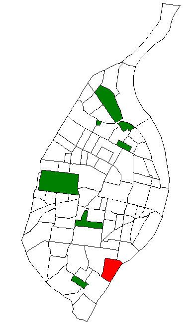
Map of Mount Pleasant, St. Louis, MO, USA
DemographicsEdit
In 2010 Mount Pleasant's racial makeup was 47.1% Black, 43.2% White, 0.5% Native American, 2.4% Asian, 3.3% Two or More Races, and 3.4% Some Other Race. 6.9% of the people were of Hispanic or Latino origin.