
Area 4.628 km² Local time Monday 7:04 PM | Population 4,158 (2006) | |
 | ||
Weather 19°C, Wind NE at 18 km/h, 65% Humidity | ||
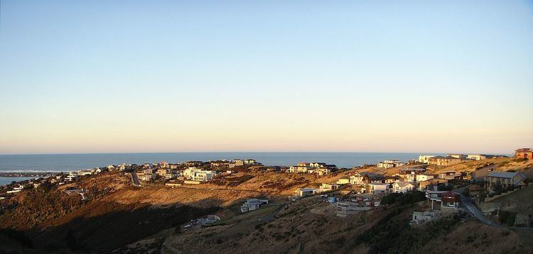
Mount Pleasant (Tauhinukorokio) is a coastal suburb of Christchurch, New Zealand. The suburb is located on the northern flank of the mountain in the Port Hills of which it takes its name.
Map of Mount Pleasant, Christchurch 8081, New Zealand
The area originally belonged to the borough of Sumner. A petition in 1920 by the majority of its residents asked for it to be included as a riding of the Heathcote County. Whilst the mayor of Sumner, John Barr, submitted against the petition, it was granted and took effect on 1 April 1921. As a result of the 1989 local government reforms, Heathcote County was amalgamated with and became part of Christchurch City Council.
The suburb and its houses were extensively damaged in the 2011 Christchurch earthquake.
References
Mount Pleasant, New Zealand Wikipedia(Text) CC BY-SA