
Population 480 (2011 census) Mount Perry DoughboyGood Night Local time Monday 3:36 PM | Postcode(s) 4671 Postal code 4671 | |
 | ||
Location 365 km (227 mi) NW of Brisbane100 km (62 mi) WSW of Bundaberg52 km (32 mi) SW of Gin Gin70 km (43 mi) N of Gayndah Weather 26°C, Wind NE at 16 km/h, 87% Humidity | ||
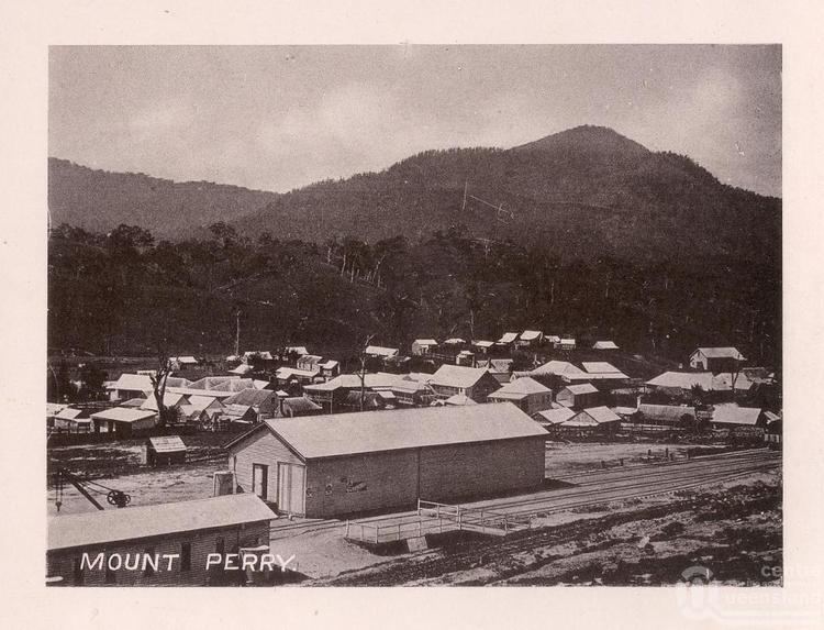
Mount Perry is a small town and locality in the North Burnett Region in southeastern Queensland, Australia. In the 2011 census, Mount Perry had a population of 480 people.
Contents
Map of Mount Perry QLD 4671, Australia
Geography
Mount Perry is about 365 kilometres (227 mi) northwest of Brisbane, the capital of Queensland, and about 100 kilometres (62 mi) west of Bundaberg. The town is nestled in a valley near Mount Perry, the area's highest mountain.
History
Mount Perry Post Office opened on 26 July 1871. It was known as Tenninering between 1882 and 1884.
Mount Perry was connected by a railway line to Bundaberg from 1884 until 1960.
At the 2006 census, Mount Perry and the surrounding area had a population of 431.
Economy
Gold mining continues to be an important industry in the area, especially Solomon Gold, a company that operates in the town, while the popular Mount Perry Races remains a fixture on the calendars of many people in the area.
Facilities
Mount Perry has a public library, art gallery and a bicentennial museum. There is just one general store, one petrol station, one post office (with bank agency), one primary school, two motels and one golf course.
Heritage listings
Mount Perry has a number of heritage-listed sites, including: