
Elevation 12,414 ft (3,784 m) | Prominence 489 ft (149 m) Topo map USGS Granite Peak | |
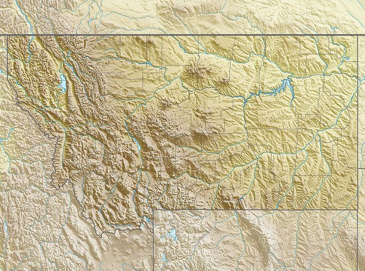 | ||
Location Carbon County, Montana, U.S. | ||
Mount Peal (12,414 feet (3,784 m)) is in the Beartooth Mountains in the U.S. state of Montana. The peak is one of the tallest in the Beatooth Mountains, the ninth tallest in Montana and is in the Absaroka-Beartooth Wilderness of Custer National Forest. The nearest taller mountain to Mount Peal is Tempest Mountain, 1 mi (1.6 km) WNW.
Map of Mount Pearl, NL, Canada
References
Mount Peal Wikipedia(Text) CC BY-SA