
Population 1,685 (2006 census) | Postcode(s) 2519 Postal code 2519 | |
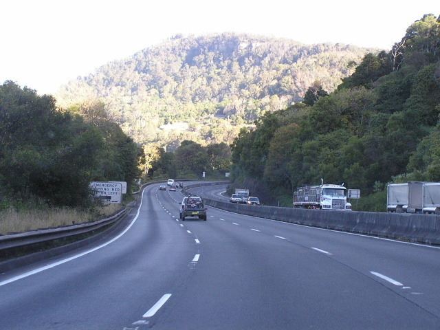 | ||
Mount Ousley is a residential suburb situated on the foothills of Mount Keira about four kilometres northwest from the city of Wollongong, New South Wales, Australia. It is also the name of the road which crosses the nearby Illawarra Escarpment and is adjacent to the University of Wollongong. Mount Ousley has a public school, Mount Ousley Public School. It also has an independent Montessori school Elonera Montessori School (EMS), that offers education from Preschool to Year 10.
Map of Mount Ousley NSW 2519, Australia
References
Mount Ousley, New South Wales Wikipedia(Text) CC BY-SA