
Isolation 4.59 mi (7.39 km) Elevation 2,402 m | Easiest route hike Prominence 226 m | |
 | ||
Topo map USGS 7.5' topographic mapMorrison, Colorado Similar Front Range, Grays Peak, Torreys Peak, Mount Glennon, Lookout Mountain | ||
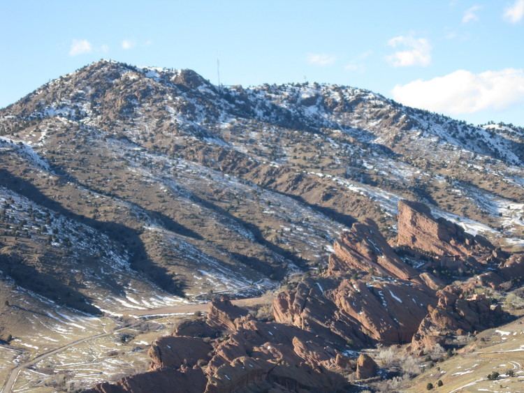
Mount Morrison is a foothill on the eastern flank of the Front Range of the Rocky Mountains of North America. The 7,881-foot (2,402 m) peak is located in Red Rocks Park, 1.9 miles (3.0 km) northwest by west (bearing 305°) of the Town of Morrison in Jefferson County, Colorado, United States. Red Rocks Amphitheatre is located on the eastern side of the mountain.
Map of Mt Morrison, Colorado 80401, USA
References
Mount Morrison (Colorado) Wikipedia(Text) CC BY-SA