
 | ||
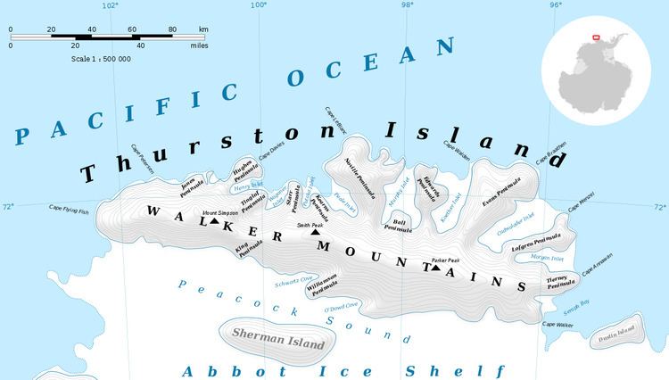
Mount Leech (72°9′S 99°47′W) is a peak of the Walker Mountains, standing 5 nautical miles (9 km) northwest of Mount Hubbard in Thurston Island, Antarctica. It was delineated from air photos taken by U.S. Navy Operation Highjump in December 1946, and was named by the Advisory Committee on Antarctic Names for entomologist Robert E. Leech, who participated in a United States Antarctic Research Program airborne insect program in the Ross, Amundsen and Bellingshausen Sea areas in the 1959–60 season.
Maps
References
Mount Leech Wikipedia(Text) CC BY-SA