
Topo map USGS Mount Jefferson Prominence 1,786 m | Elevation 3,642 m | |
 | ||
Listing US most prominent peaks 71stNevada County High Points 3rd Easiest route From Jefferson Summit near Meadow Canyon, a four-wheel drive road leads north to a trail which ascends directly to the Mount Jefferson South Summit, Hide class 1 Similar Arc Dome, North Schell Peak, Hayford Peak, Mount Charleston, Mount Igikpak | ||
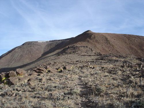
Mount Jefferson is the highest mountain in both the Toquima Range and Nye County in Nevada, United States. It is the sixth highest mountain in the state. As the high point of a range which is well separated from other ranges by low basins, Mount Jefferson has a high topographic prominence of 5,861 feet (1,786 m). This makes it the most prominent peak in Nye County and the third most prominent peak in Nevada (after Charleston Peak and Wheeler Peak). For similar reasons, it is also the highest mountain for over 90 miles in all directions. It is located about 50 miles (80 km) northeast of the county seat of Tonopah within the Alta Toquima Wilderness of the Humboldt-Toiyabe National Forest, near the smaller towns of Carvers and Round Mountain. Three distinct summits are located on a broad area of subalpine tundra: North Summit rises to 11,820 feet (3,603 m), Middle Summit to 11,692 feet (3,564 m), and South Summit to 11,949 feet (3,642 m). During the Pleistocene, alpine glaciers eroded several cirques east of the summit plateau.