
 | ||
People also search for Mount Anderson, Mount Farrell, Mount Tyree | ||
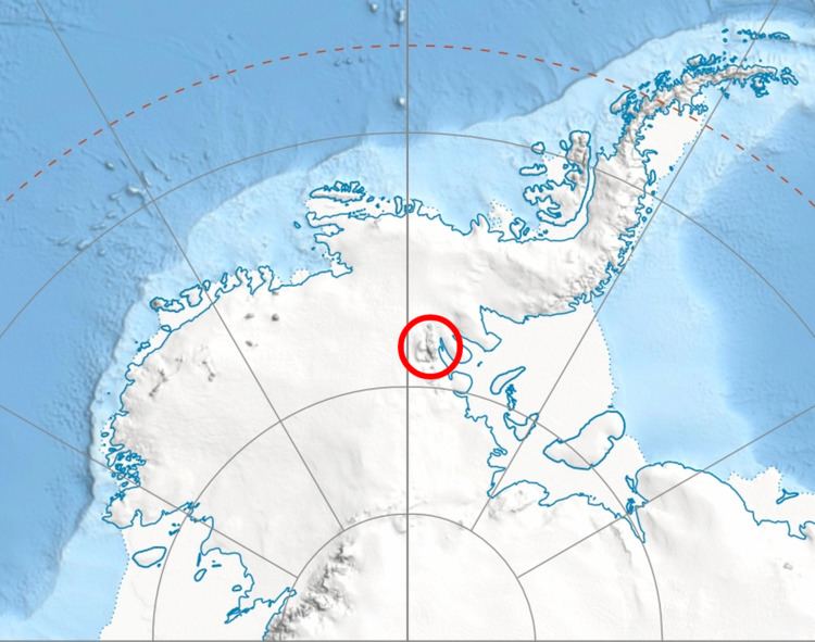
Mount Hubley (78°5′S 86°46′W) is a prominent, snow-covered, outlying mountain to the west of Mount Hale, in the Sentinel Range of the Ellsworth Mountains in Antarctica. It was first mapped by the United States Geological Survey from surveys and U.S. Navy air photos from 1957–59, and was named by the Advisory Committee on Antarctic Names for Richard C. Hubley, a member of the Technical Panel on Glaciology in the U.S. National Committee for the International Geophysical Year.
Contents
Map of Mount Hubley, Antarctica
Maps
References
Mount Hubley (Antarctica) Wikipedia(Text) CC BY-SA