
Country United States Elevation 380 m Population 4,864 (2010) | Time zone Pacific (PST) (UTC-8) FIPS code 41-50235 Area 67.7 km² Zip code 97067 | |
 | ||
Neighborhoods Welches, Oregon, Zigzag, Oregon, Brightwood, Mountain Air Park, Oregon, Wildwood, Faubion, Wind Tree | ||
Mount Hood Village is the name of a census-designated place (CDP) within the Mount Hood Corridor in Clackamas County, Oregon, United States. As of the 2010 census, the CDP had a population of 4,864. The Villages at Mount Hood is the name of the combined government of several of the communities encompassed by the CDP and is a separate entity.
Contents
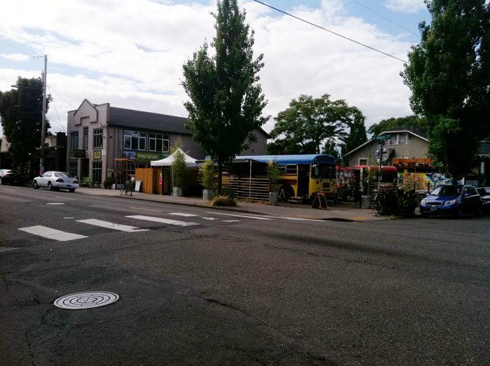
Map of Mt Hood Village, OR, USA
Government
The Villages at Mount Hood is the common quasi-government of the unincorporated communities of the Mount Hood Corridor, and includes Brightwood, Welches, Wemme, Zigzag and Rhododendron. Residents approved its formation in May 2006.
The Villages at Mount Hood was the first established village under Clackamas County's "Complete Communities" ordinance, which allows unincorporated communities to form quasi-governments that allow them to have more direct control regarding the issues and activities that affect them.
According to the village's official website, the communities united to form the village because the Oregon Department of Transportation required that the towns create a "governmental agency" in order to continue getting grants for the growing Mount Hood Express bus system. The "Complete Communities" ordinance makes villages and hamlets official agencies of the county.
Jurisdiction
The Villages at Mount Hood have thus far approved (and now oversee) the following activities:
Geography
The CDP includes most of Brightwood, Wemme, Welches, Zigzag, and Rhododendron. Most of the area is immediately north or south of U.S. Route 26, though a spur south into parts of Welches and a spur north along East Lolo Pass Road is also included.
According to the United States Census Bureau, the CDP has a total area of 26.1 square miles (67.7 km2), all land.
Demographics
As of the census of 2000, there are 3306 people in the CDP, organized into 1320 households and 872 families. The population density is 482.5 people per square mile (186.3/km²). There are 1903 housing units at an average density of 277.7 per square mile (107.3/km²). The racial makeup of the CDP is 92.38% White, 1.66% Native American, 0.48% Asian, 0.33% Black or African American, 0.03% Pacific Islander, 2.90% from other races, and 2.21% from two or more races. 6.35% of the population are Hispanic or Latino of any race.
There are 1,320 households out of which 29.5% have children under the age of 18 living with them, 55.8% are married couples living together, 6.1% have a female householder with no husband present, and 33.9% are non-families. 24.6% of all households are made up of individuals and 6.7% have someone living alone who is 65 years of age or older. The average household size is 2.46 and the average family size is 2.95.
The median age in the CDP is 40 years:
For every 100 females there are 113.6 males. For every 100 females age 18 and over, there are 109.1 males.
The median income for a household in the CDP is $51,031, and the median income for a family is $59,458. Males have a median income of $42,961 versus $28,372 for females. The per capita income for the CDP is $24,604. 6.4% of the population and 3.9% of families are below the poverty line. Out of the total population, 2.6% of those under the age of 18 and 6.5% of those 65 and older are living below the poverty line.