
Population 10,891 (2011 census) Area 4.6 km² | Postcode(s) 4122 Postal code 4122 | |
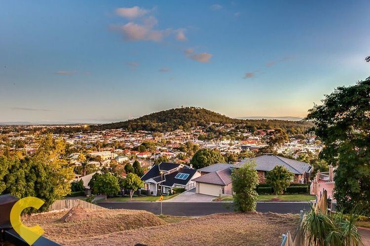 | ||
Mount Gravatt East is a suburb of Brisbane, Australia, located 8 kilometres (5 mi) southeast of the central business district.
Contents
Map of Mount Gravatt East QLD 4122, Australia
Named after Mount Gravatt, a nearby landmark, the suburb was first gazetted in 1967.
There is a variety of hills, one of them being Mount Thompson.
On land owned by Boral along Pine Mountain Road, an old quarry has filled with water. Despite being fenced off, trespassers have gained access and used the dam as a swimming hole. A Brisbane City Council report found the water had a pH level of about 3.3 and contained traces of metals making it unsuitable for human contact.
Demographics
In the 2011 census, the population of Mount Gravatt East was 10,891, 50.9% female and 49.1% male.
The median age of the Mount Gravatt East population was 34 years of age, 3 years below the Australian median.
71.8% of people living in Mount Gravatt East were born in Australia, compared to the national average of 69.8%; the next most common countries of birth were New Zealand 3.5%, England 2.8%, India 2.2%, South Africa 1%, China 0.9%.
79.8% of people spoke English as their first language, with 1.6% Greek, 1.4% Mandarin, 1.1% Arabic, 1% Punjabi and 0.9% Cantonese.