
Topo map USGS Mount Goddard Prominence 478 m | Elevation 4,134 m Mountain range Sierra Nevada Parent range Sierra Nevada | |
 | ||
Listing SPS Emblem peakWestern States Climbers Star peak First ascent September 23, 1879 by Lilbourne A. Winchell and Louis W. Davis Easiest route Scramble, class 2 by Starr's Route or the East Slope Similar Mount Darwin, Mount Brewer, North Palisade, Mount Mendel, Split Mountain | ||
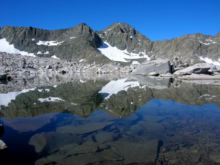
Mount Goddard is a mountain of California's Sierra Nevada, in the north section of Kings Canyon National Park. Goddard forms the southwest boundary of the Evolution Basin.
Map of Mt Goddard, California 93664, USA
The peak is named for civil engineer George Henry Goddard, who surveyed the Sierra Nevada during the 1850s. The name was given by William Brewer's California Geological Survey party in 1864, during which year they made two unsuccessful attempts to climb the mountain.
Fifteen years later, Lilbourne Winchell and Louis Davis completed the first recorded ascent on September 23, 1879. They scrambled up class 2 rock from the east side of Martha Lake to Goddard Col, and a lake and chute beyond. From here they attained the summit by way of the Southwest Ridge, and a short class 3 ridge between the two summits of Mount Goddard.