
Country United States Area code(s) 731 Elevation 171 m | Time zone Central (CST) (UTC-6) GNIS feature ID 1294612 Local time Sunday 7:12 PM | |
 | ||
Weather 16°C, Wind E at 0 km/h, 40% Humidity | ||
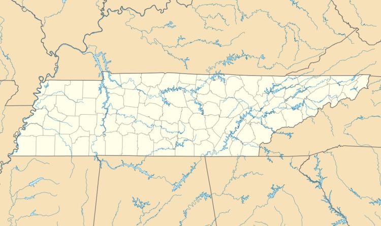
Mount Gilead, Tennessee (sometimes called Mt. Gilead) is an unincorporated community located in Henderson County, Tennessee, United States at latitude 35.766 and longitude -88.54, at an elevation of 561 feet. It is on O'Brien Road west of Tennessee Highway 104, approximately 8 kilometres south-southeast of Cedar Grove, Tennessee. As late as 1926, Mount Gilead had its own school.
Map of Mt Gilead, Tennessee 38351, USA
References
Mount Gilead, Tennessee Wikipedia(Text) CC BY-SA